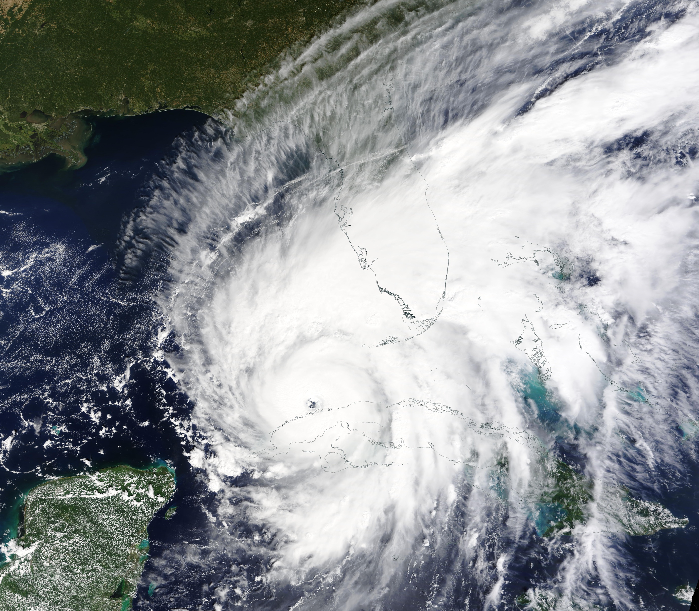
Thirty knots in twenty-four hours is the threshold I use for rapid intensification. It is not poetry. It is the jump that turns a Category 2 plan into a Category 4 morning.
Before landfall, the cost is a stale forecast. Every intensity guidance product, every surge atlas keyed off a category, every pre-positioned crew sitting one county too far inland. The track can be right and the loss still blows out, because the wind at the coast is not the wind in the advisory from yesterday.
After landfall, the cost shows up in places that do not look like meteorology. Evacuation orders timed to a weaker storm. Building-stock models that assumed a return period which no longer holds if RI is becoming more common. A treaty priced on a stationary catalogue. Software that ingested the 18Z best track and will not see the 00Z fix until a batch job runs at dawn.
I care about the software because that is the part I can change. A risk system that treats intensity as a slowly changing label will be wrong on the exact days it matters. The pipeline has to accept a 6-hour cadence, keep the delta in the open, and make “this storm just jumped” a first-class event — not a footnote in a PDF.
The research note is the empirical half: is the jump showing up more often in the North Atlantic record, and where? This post is the other half. A 30-knot rise is a number on a plot until something you built still believes yesterday’s category.
If you model weather as scenery, you will ship scenery. If you model it as a risk signal with a clock, the software has a job.